
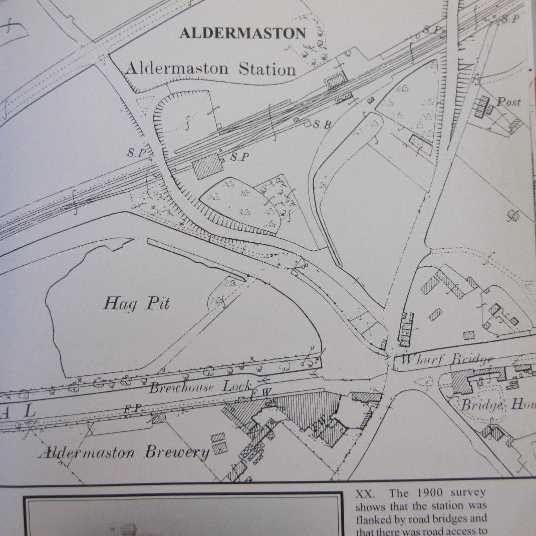
An extract from a 1900 Ordnance Survey map shows the building footprint of Aldermaston Brewery, adjacent to the Kennet and Avon Canal, to the south of Aldermaston Lock (marked here as Brewhouse Lock), and to the west of the A340.
The image is taken from the railway history book Slough to Newbury by Vic Mitchell and Keith Smith, published in 2000, by Middleton Press.


No Comments
Add a comment about this page